
About the Project
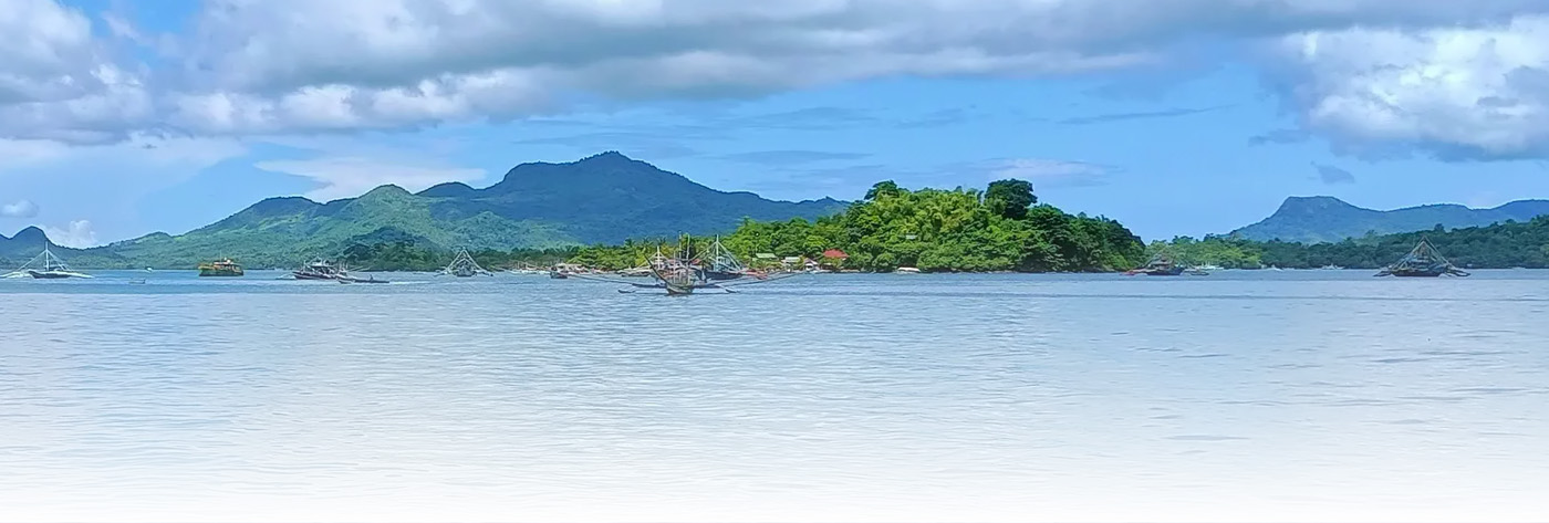
The Visayan Sea located between 11° and 12° north latitude and 123° and 124° east longitude, was among the top productive fishing grounds in the Philippines (BFAR 2002). It covers an area of about 10,000 km2 and being bound by 22 municipalities in the five (5) provinces of Iloilo, Negros Occidental, Cebu, Masbate, and Capiz. Visayan Sea contributed 13.8% and 14.2% to the total production of commercial and municipal fisheries, respectively (BFAR 2000). It has wide and varied marine habitats which include 40 square kilometers of mangrove forests, 59 square kilometers of seagrass beds and 789 square kilometers of coral reefs support a diverse and important marine life. This bounty supported the socio-economic and well-being of community living in coastal areas of the said provinces for so many years. However, due to increasing fishing pressures and illegal fishing activities, fish yields declined led to stock depletion and overexploitation. According to BFAR Region 6 data, a decline of fish biomass in the said waters from 1940’s up to the present which could be a result of unsustainable fishing practices. Several management measures were implemented to protect the resources, including banning of illegal and destructive fishing, closed season for sardines and blue crabs, marine protected areas, localization, and reduction in the number of both municipal and commercial fishers.
Locally, BFAR Region 6 strictly implements Fisheries Administrative Order No. 167-3 (FAO 167-3) or the yearly closed fishing season from November 12 to February 12 in selected Visayan Sea areas. FAO 167-3 prohibits the catching of sardines, herrings and mackerels or their larvae, fry or young. Another management measure for Visayan Sea was the passing of Fisheries Administrative Order (FAO) 263 or the Establishment of Fisheries Management Areas (FMA) for the Conservation and Management of Fisheries in Philippine Waters.
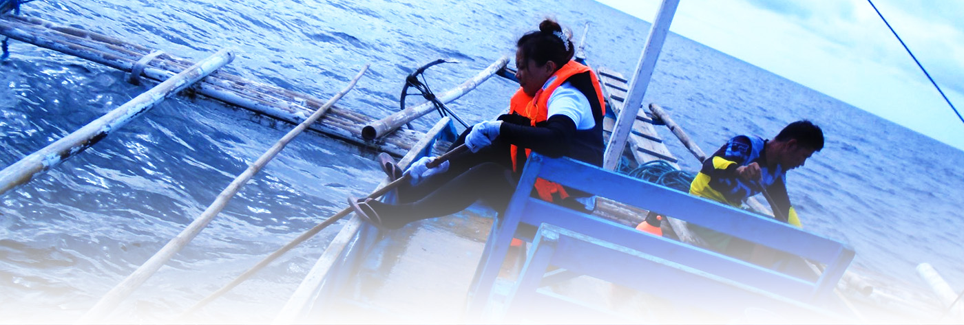
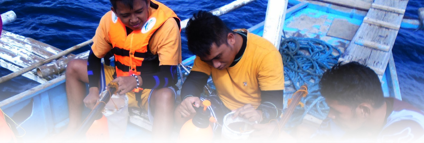
These various management measures, laws and policies must be strongly supported with accurate and reliable scientific data. To date, only few measures were implemented to contain the pressing problems of Visayan Sea due to limited scientific baseline data. Mostly datasets available were of secondary fisheries data origin from fish ports surveys and fish landings catch inventory, primary data was very limited on actual fishing research operations of several fishing gears.
This happens due to the lack of research facility, funding, and manpower, as well as local initiative. Ecological data of marine environment was also limited due to the same reason. These data plays an important role in studying fishing grounds and environmental profile by correlating to both primary and secondary fishing data. These data may includes bottom bathymetry, water parameters (temperature, salinity, dissolved oxygen, chlorophyll-a), sea-water nutrients, primary productivity (marine planktons), tidal and current dynamics and weather. As of now, ecological data together with meteorological (weather) data were collected from remotely sense satellite data often subjected to errors and disputes.
Academic institution such as Northern Iloilo Polytechnic State College (NIPSC) located in Estancia, Iloilo plays a very crucial part in the Visayan Sea research. NIPSC is strategically located adjacent to the Visayan Sea waters; researches may also be more accessible and easily facilitated thru the college Research and Development Office and School of Fisheries and Allied Sciences. Also, NIPSC provides relevant training and education to students as capable manpower source in the fishery sector of the Philippines. All of these are within the sphere of NIPSC’s mandate through its curricular offerings. NIPSC, therefore, can lead efforts in conducting research similar to ecological assessment and fishing ground profiling in the waters of the Visayan Sea. NIPSC including its eight (8) campuses and the local government units of Estancia and Carles in northern Iloilo will be the possible adaptors of the technology, likewise a feasible industry partner. Others government agencies, academes, and research institutions may also a possible technology adaptors and industry partners.
This project aims to establish an accurate, reliable and up to date baseline scientific data for ecological, fishing and meteorological data of the Visayan Sea waters for year 2021-2022. This 1-year comprehensive scientific data may serve as base facts for several government utilities like in policy development for various fisheries management measures in the Visayan Sea waters and vicinities, educational, training, and future researches. These collected data may also archived and later serve as historical references repository for future studies.